Allerona Bridge
28th January 1944
![]() Disponibile in italiano: clicca qui.
Disponibile in italiano: clicca qui.
Maps
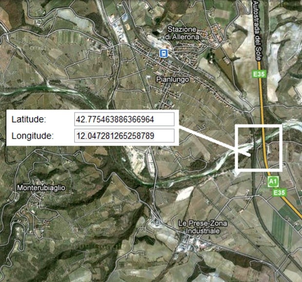
The map shows the coordinates of the monument, and you can see the mutual positions of the bridge, the A1 motorway, which runs along it, Allerona Scalo and Monterubiaglio.
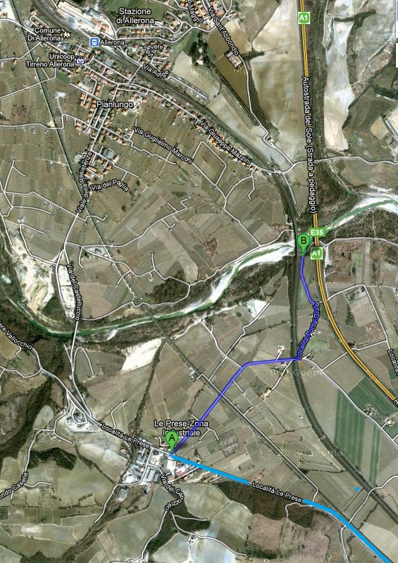
The map shows the easier route to the monument. The road at the bottom right comes from Orvieto. Just before the petrol station turn right into Via Ponte Giulio. Immediately after the railway bridge, turn left onto a dirt road.
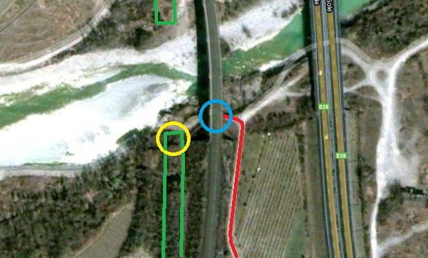
The detail shows in red the access road, which ends in a quite large yard. Circled in blue is the first pillar of the south arch of the railroad bridge rebuilt in the summer of 1944. Its wall houses the monument. In green is highlighted the old bridge, the one bombed on January 28, 1944; some ruins of it still survive. In particular, the one circled in yellow is the stump of the pylon initially considered to host the monument.